A move inside one city is mostly an access problem. A move between San Antonio and a nearby city adds two more layers: the route itself, and a second set of rules at the far end. Pickup and delivery can sit in different municipalities, counties, and road networks on the same day.
The cities around San Antonio do not share one process. New Braunfels, Kerrville, Fredericksburg, Bulverde, Helotes, Converse, Universal City, Garden Ridge, and Seguin each manage their own streets and their own local requirements. A plan that treats the second city as an extension of San Antonio misses things. The miss might be a construction zone nobody checked for, or a rule at the delivery side that never came up on the pickup end.
This guide covers the planning work between the two addresses. It explains how to read the corridor, sort out county lines, and build one packet per address for review.
Direct answer: Plan a move between San Antonio and a nearby city around the pickup address, the route, and the delivery address. Build a separate access packet for each address, and confirm street rules with the city or county that controls each block. Check road conditions and weather close to the move date, then send both packets with the inventory so the mover can see the whole route, since mileage alone will not show what the drive actually involves.
Short answer: how do you plan a move between San Antonio and a nearby city?
Start by treating pickup and delivery as two separate local access problems, then connect them with the route between. For each address, record the proposed legal truck position, the carry path to the entry, gates, driveway surface and slope, stairs, low clearances, and tight turns. Identify which city or county controls each street, because rules do not carry over between municipalities. Between the addresses, check current highway conditions on TxDOT's DriveTexas map and the forecast from the National Weather Service Austin/San Antonio office near the move window, and note any active construction on the corridor. The final approach at both ends usually matters more than the highway segment in between. Send both access packets, the move date, and the inventory together so the mover can review the complete route before the plan is set.
Know which city and county control each address
San Antonio sits in Bexar County, but a short drive can cross a county line. TxDOT's I-35 Northeast Expansion program crosses Bexar, Comal, and Guadalupe counties in a single stretch of highway. The office that answers a parking question at pickup has no authority over a delivery address in another municipality.
Each address needs its own answers to the same questions. Ask who controls the street, what applies to a moving vehicle on that block, and who must approve access at the property itself. For the property-level walkthrough, the San Antonio moving access guide shows how to document truck position, carry distance, and interior constraints. This guide assumes that work happens at both ends and focuses on what connects them.
Private rules travel even less well. A gate procedure or association requirement at one property says nothing about the other, so confirm each with the responsible owner, association, or manager.
Check the corridor's real conditions
The distance between two addresses says little about the drive between them. TxDOT's I-35 Northeast Expansion program covers about 20 miles of I-35 from N. Walters Street to FM 1103, with phases targeted for completion in late 2027 and late 2028. Lane shifts, ramp closures, and changed frontage roads affect a loaded truck differently than a car.
Check conditions on DriveTexas, the road condition map operated by TxDOT's Travel Information Division. It reports closures, construction, and flooding on state highways. Look at it when the date is set and again close to the move.
Plan the final approach separately. The state map covers highways, not the city streets, county roads, or private drives at each end. That is what the city guides below are for.
Respect the weather window
South Central Texas weather can change a move plan on short notice. The National Weather Service Austin/San Antonio office publishes forecasts and alerts for the region, including San Antonio and the surrounding cities. Check the forecast for both addresses, because conditions can differ across the region on the same day.
Heat shapes summer loading plans, so talk timing through with the mover. Rain matters most on rural approach roads, where a low-water crossing can flood quickly. If a road is flooded or barricaded, do not drive around the control. Adjust the plan with the mover and the property contact instead.
Rural approach roads change the last mile
Between-city moves often end on roads that behave differently from city streets. Long unpaved drives, narrow shared lanes, low tree canopy, and soft shoulders all affect where a loaded truck can safely go. So does turning space. A truck that enters a narrow lane with no turnaround may need to back out the full length.
Walk or drive the last stretch before move day and photograph it. If the surface, slope, or clearance looks doubtful, tell the mover before the truck is committed. Sometimes the practical answer is staging items closer to the road. Settle that in the plan ahead of time so nobody is working it out in the driveway.
Use the guide written for the destination city
Each nearby city has its own access patterns, and each has its own guide. Use the one that matches the far end of the move:
- New Braunfels moving guide for the I-35 corridor, river-area streets, and older downtown blocks.
- Kerrville moving guide for Hill Country roads, sloped driveways, and hillside home access.
- Fredericksburg moving guide for historic in-town blocks and ranch or acreage approaches.
- Bulverde and Spring Branch moving guide for long rural driveways, gated acreage, and low-water crossings.
- Helotes moving guide for hillside subdivisions, retaining walls, and gated streets.
- Converse moving guide for new subdivisions, narrow streets, and small-lot driveways.
- Universal City moving guide for apartments, rentals, and busy corridors.
- Garden Ridge moving guide for large lots, long private drives, and tree clearance.
- Seguin moving guide for older homes, the downtown square, and newer city-edge subdivisions.
These guides identify the right questions. They do not replace current instructions from the city, county, association, or owner responsible for a specific address. Schertz and Cibolo have their own earlier guide, so this page does not repeat that corridor.
Build one packet for each address, then compare them
The packet format is the same at both ends; only the people answering change. Work through this list for pickup, then repeat it for delivery:
- Write the full address, the property contact, and the city or county responsible for the street at each end.
- Photograph the proposed truck position, driveway, gate, and main entry at both properties.
- Measure gates, doors, stairs, tight turns, and the largest furniture pieces before the move is scheduled.
- Record the carry distance from the usable truck position to the entry at each address.
- Confirm public street rules with the city or county office that controls each block.
- Confirm private rules with the owner, association, or property manager for each property.
- Check current road conditions on the connecting corridor a few days before the move and again that morning.
- Check the forecast for both addresses and flag heat, rain, or flood advisories for the travel window.
- Send both packets, the move date, and the full inventory to the mover before the plan is final.
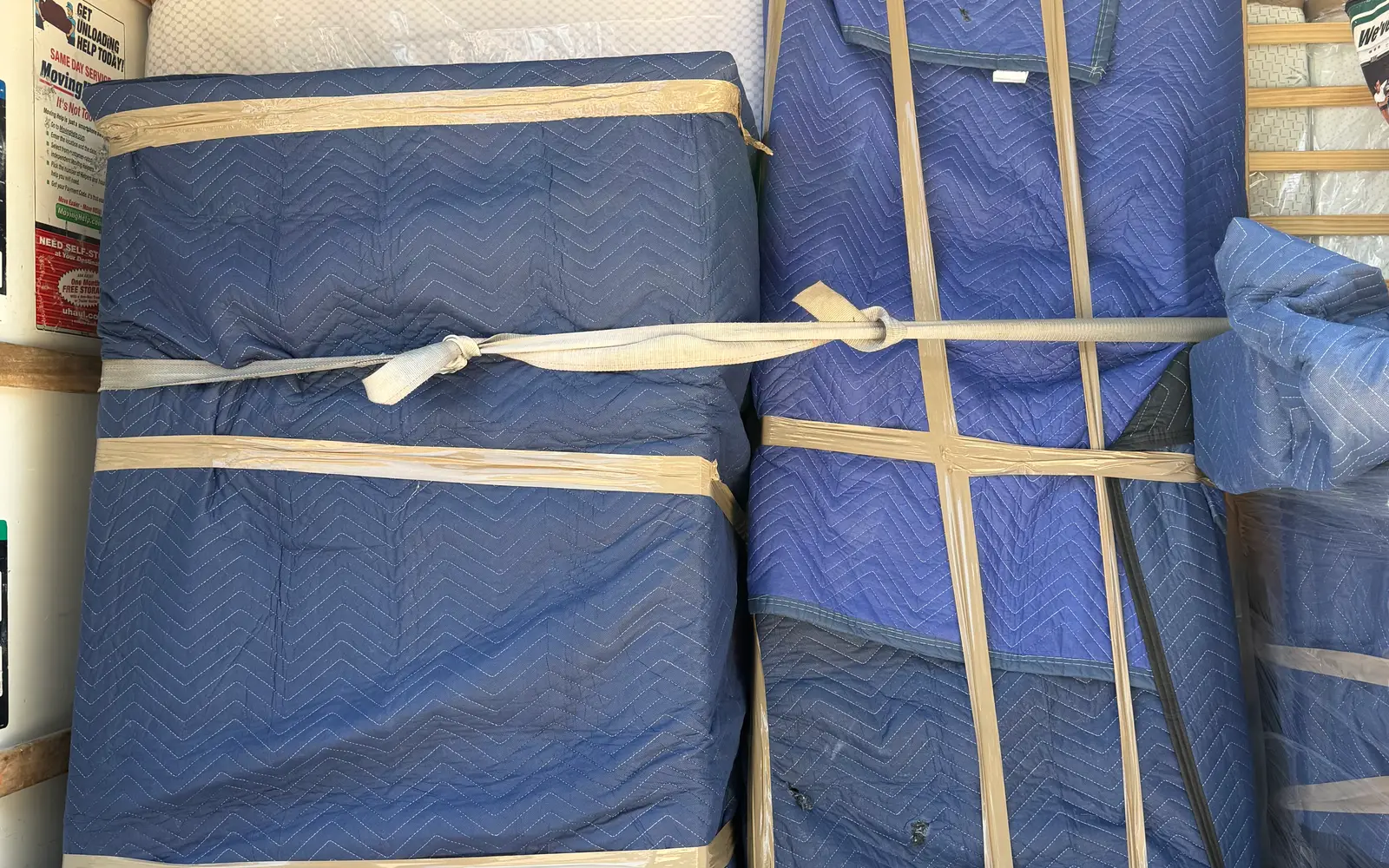
Compare the two packets before anything is loaded. The more restrictive address sets the plan. A sofa that clears a wide suburban doorway still has to fit the delivery stair turn. A truck that parks easily at pickup still needs a workable position at the far end.
Where Pro Alliance fits
A between-city move gives the team two properties plus the corridor connecting them, so send both addresses, the preferred date, the inventory, and one access packet per end. The local moving support page covers this kind of work, and you can request an estimate with the packets and any route concerns attached.
Frequently asked questions
What changes when a move crosses city limits?
The rules that apply to the truck and the street change with the jurisdiction. Parking and street questions are answered by whichever city or county controls that block, not by San Antonio. Property rules change too, because a different owner, association, or manager controls the delivery address.
Does this guide cover Schertz and Cibolo?
No. Schertz and Cibolo are covered in an earlier guide dedicated to that corridor. This page covers the nine nearby cities listed in the destination guide section.
When should I check road conditions for the move?
Check when the date is set, again a few days before, and once more on the morning of the move. Construction phasing changes over months, but closures and flooding can appear overnight. The DriveTexas map and the National Weather Service forecast together cover the corridor and the weather window.
Do county lines change how a move is planned?
They can. A single move can start in Bexar County and end in Comal or Guadalupe County, and county offices answer road questions outside city limits. The practical step is the same everywhere: identify the responsible office for each street and confirm what applies on the move date.
What should I send so the whole route can be reviewed?
Send both access packets, the inventory, the preferred date, and any deadline attached to either address, such as a lease end. Photos of the two truck positions and carry paths are the most useful items. The goal is that nobody discovers a constraint for the first time on move day.
Sources
Ready to plan the real move?
Send both addresses, your date, and what you are moving. The team reviews access at each end and comes back with a written estimate.
Prefer to talk it through? Call (210) 683-4092, Mon–Fri 8:00 AM–5:30 PM and Sat–Sun 8:00 AM–4:30 PM.
Keep planning